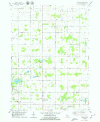
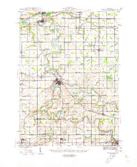
1978 Map of Woodbury
USGS Topo · Published 1979About this map
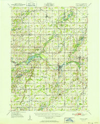
Libhart Creek and Tupper Creek flow through this rural landscape of Michigan's central farmlands, where the boundaries of Berlin, Orange, Odessa, and Sebewa townships converge. The 1970s character of the region is defined by its small crossroads settlements and a network of well-maintained county highways like Musgrove Highway and Eaton Highway. The Chesapeake and Ohio railroad corridor anchors the southern portion of the sheet near the community of Woodbury, which serves as a local hub alongside the Lakewood High Sch campus.
Find a feature on this map
48 named features on this map. Tap any name to fly to it.
Don’t see what you’re looking for? This feature index may not catch every label — zoom into the map to look around manually.
Map Details
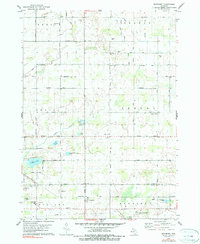
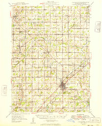
Editions of this 1978 Woodbury Map
2 editions found
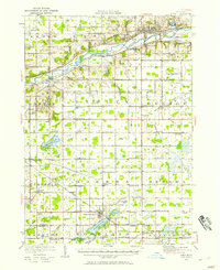
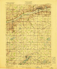
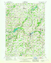
Other maps of this area
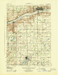
1916 · Ionia
USGS Topo · 1:62,500
1918 · Ionia
USGS Topo · 1:62,500
1943 · Ionia
USGS Topo · 1:62,500
1945 · Portland
USGS Topo · 1:62,500
1949 · Charlotte
USGS Topo · 1:62,500
1950 · Nashville
USGS Topo · 1:62,500
1951 · Nashville
USGS Topo · 1:62,500

1958 · Grand Rapids
USGS Topo · 1:250,000

1961 · Grand Rapids
USGS Topo · 1:250,000

1962 · Grand Rapids
USGS Topo · 1:250,000
Featured Places
- Sunfield, Sunfield Township
- Berlin Township, MI
- Woodland Township, MI
- Sunfield Township, MI
- West Sebewa, Sebewa Township