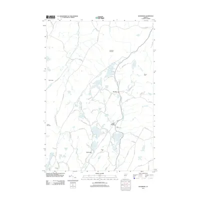
2012 Map of Woodbury
USGS Topo · Published 2012About this map
Woodbury and South Woodbury anchor this upland landscape, where a dense network of lakes and ponds defines the local geography. The area's complex water system includes Mirror Lake, Greenwood Lake, and Sabin Pond, all connected by the winding course of Kingsbury Brook. This 2012 survey reveals a terrain shaped by granite heights like Woodbury Mountain and the distinct promontory of Eagle Ledge.
Find a feature on this map
110 named features on this map. Tap any name to fly to it.
Don’t see what you’re looking for? This feature index may not catch every label — zoom into the map to look around manually.
Map Details
Editions of this 2012 Woodbury Map
This is the sole edition of this map. No revisions or reprints were ever made.
Other maps of this area

1919 · Montpelier
USGS Topo · 1:62,500

1921 · Montpelier
USGS Topo · 1:62,500

1927 · Hyde Park
USGS Topo · 1:48,000

1928 · Hardwick
USGS Topo · 1:62,500

1930 · Hyde Park
USGS Topo · 1:62,500

1934 · Hardwick
USGS Topo · 1:48,000

1938 · Hardwick
USGS Topo · 1:62,500

1939 · Plainfield
USGS Topo · 1:48,000

1940 · Plainfield
USGS Topo · 1:62,500

1943 · Plainfield
USGS Topo · 1:62,500