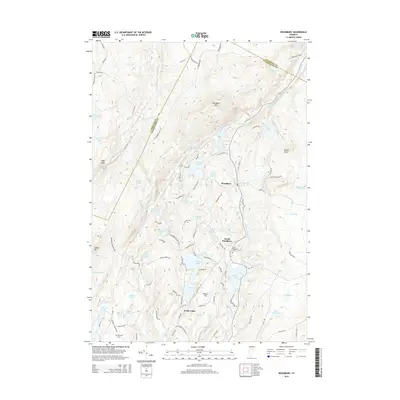
2015 Map of Woodbury
USGS Topo · Published 2015About this map
Woodbury and South Woodbury anchor this landscape of the central Vermont hills, where an intricate network of glacial ponds and narrow brooks defines the local geography. The area is characterized by significant topographic relief, rising toward Woodbury Mtn and Eagle Ledge. Water is a dominant feature, with large bodies like Greenwood Lake, Mirror Lake, and Curtis Pond connected by various waterways such as Kingsbury Brook and Pekin Brook. Local history is preserved in the location of the South Woodbury Cem and Robinson Cem, which sit alongside historic routes like N Calais Rd and Dodge Rd. In the southern portion, the settlement of North Calais serves as a gateway to the neighboring pond-dense terrain, illustrating the enduring relationship between Vermont's village centers and its complex, water-carved highlands.
Find a feature on this map
97 named features on this map. Tap any name to fly to it.
Don’t see what you’re looking for? This feature index may not catch every label — zoom into the map to look around manually.
Map Details
Editions of this 2015 Woodbury Map
This is the sole edition of this map. No revisions or reprints were ever made.
Other maps of this area

1919 · Montpelier
USGS Topo · 1:62,500

1921 · Montpelier
USGS Topo · 1:62,500

1927 · Hyde Park
USGS Topo · 1:48,000

1928 · Hardwick
USGS Topo · 1:62,500

1930 · Hyde Park
USGS Topo · 1:62,500

1934 · Hardwick
USGS Topo · 1:48,000

1938 · Hardwick
USGS Topo · 1:62,500

1939 · Plainfield
USGS Topo · 1:48,000

1940 · Plainfield
USGS Topo · 1:62,500

1943 · Plainfield
USGS Topo · 1:62,500