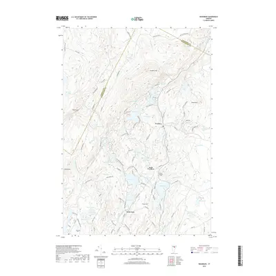
2018 Map of Woodbury
USGS Topo · Published 2018About this map
Woodbury and South Woodbury anchor this region of the Green Mountains, where the landscape is defined by a high density of water bodies and granite-related industry. The topography is dominated by peaks like Woodbury Mtn and Hobart Mtn, with the economy of the era reflected in the network of access roads such as Fletcher Quarry Rd and Woodbury Quarry Rd. These labels point to the area's historic stone-cutting heritage situated between Buck Lake and Valley Lake.
Find a feature on this map
107 named features on this map. Tap any name to fly to it.
Don’t see what you’re looking for? This feature index may not catch every label — zoom into the map to look around manually.
Map Details
Editions of this 2018 Woodbury Map
This is the sole edition of this map. No revisions or reprints were ever made.
Other maps of this area

1919 · Montpelier
USGS Topo · 1:62,500

1921 · Montpelier
USGS Topo · 1:62,500

1927 · Hyde Park
USGS Topo · 1:48,000

1928 · Hardwick
USGS Topo · 1:62,500

1930 · Hyde Park
USGS Topo · 1:62,500

1934 · Hardwick
USGS Topo · 1:48,000

1938 · Hardwick
USGS Topo · 1:62,500

1939 · Plainfield
USGS Topo · 1:48,000

1940 · Plainfield
USGS Topo · 1:62,500

1943 · Plainfield
USGS Topo · 1:62,500