
1954 Map of Woodford
USGS Topo · Published 1957About this map
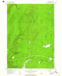
Woodford and the surrounding high country of the Green Mountains define this mid-century landscape in Bennington County. This survey, grounded in field checks from 1954, reveals a topography dominated by summits like Glastenbury Mtn, topped with the Lookout Tower Glastenbury. The drainage pattern is intricate, with numerous brooks such as Bolles Brook and Mill Pond Brook carving deep valleys like Bickford Hollow.
Find a feature on this map
45 named features on this map. Tap any name to fly to it.
Don’t see what you’re looking for? This feature index may not catch every label — zoom into the map to look around manually.
Map Details
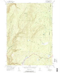
Editions of this 1954 Woodford Map
3 editions found
Other maps of this area

1889 · Wilmington
USGS Topo · 1:62,500

1891 · Wilmington
USGS Topo · 1:62,500

1894 · Londonderry
USGS Topo · 1:62,500

1894 · Equinox
USGS Topo · 1:62,500

1896 · Equinox
USGS Topo · 1:62,500

1898 · Bennington
USGS Topo · 1:62,500

1899 · Londonderry
USGS Topo · 1:62,500

1899 · Wilmington
USGS Topo · 1:62,500

1900 · Taconic
USGS Topo · 1:125,000

1900 · Equinox
USGS Topo · 1:62,500