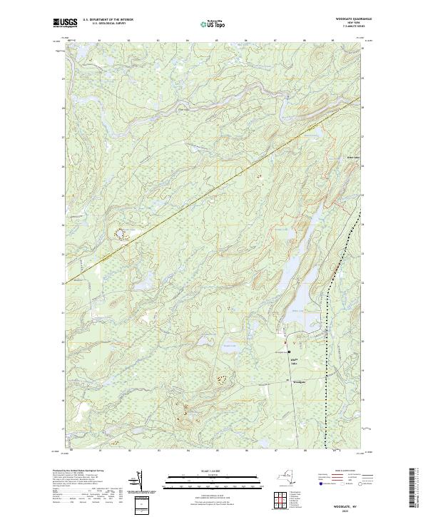
2023 Map of Woodgate
USGS Topo · Published 2023About this map
Adirondack Park Preserve lands dominate this northern New York landscape, where the boundary between Lewis and Oneida Counties cuts diagonally across a dense network of water bodies and wilderness trails. The settlement of Woodgate serves as a local hub near the southern edge of the sheet, situated near the Woodgate Cem and the shores of White Lake. This area is defined by its complex hydrology, featuring the winding Moose River and numerous isolated basins like Brandy Lake, Barnes Lake, and the curiously named Froth Hole.
Find a feature on this map
56 named features on this map. Tap any name to fly to it.
Don’t see what you’re looking for? This feature index may not catch every label — zoom into the map to look around manually.
Map Details
Editions of this 2023 Woodgate Map
This is the sole edition of this map. No revisions or reprints were ever made.
Other maps of this area

1897 · Remsen
USGS Topo · 1:62,500

1900 · Remsen
USGS Topo · 1:62,500

1904 · Boonville
USGS Topo · 1:62,500

1905 · Port Leyden
USGS Topo · 1:62,500

1907 · Port Leyden
USGS Topo · 1:62,500

1912 · Mc Keever
USGS Topo · 1:62,500

1940 · Port Leyden
USGS Topo · 1:62,500

1945 · Boonville
USGS Topo · 1:24,000

1945 · Forestport
USGS Topo · 1:24,000
1946 · North Wilmurt
USGS Topo · 1:24,000