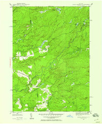
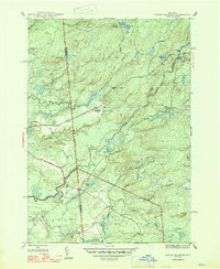
1946 Map of North Wilmurt
USGS Topo · Published 1958About this map
Wheelertown and the small settlement of Enos anchor this mid-century survey of the Herkimer and Oneida County borderlands. The landscape is defined by the drainage of the Black River and Woodhull Creek, where the transition from agricultural clearings to dense woodland is marked by isolated outposts like Lyons Camp and Stone Dam Lake Camp. Local travel followed established routes such as Bellingertown Road and North Lake Road, which connected scattered homesteads to the primary waterways.
Find a feature on this map
41 named features on this map. Tap any name to fly to it.
Don’t see what you’re looking for? This feature index may not catch every label — zoom into the map to look around manually.
Map Details
Editions of this 1946 North Wilmurt Map
2 editions found
Other maps of this area

1897 · Remsen
USGS Topo · 1:62,500

1900 · Remsen
USGS Topo · 1:62,500

1900 · Wilmurt
USGS Topo · 1:62,500

1901 · Old Forge
USGS Topo · 1:62,500

1902 · Wilmurt
USGS Topo · 1:62,500

1912 · Mc Keever
USGS Topo · 1:62,500

1945 · Forestport
USGS Topo · 1:24,000
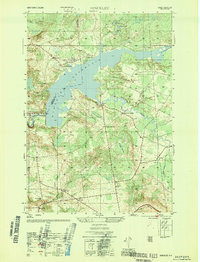
1946 · Hinckley
USGS Topo · 1:25,000
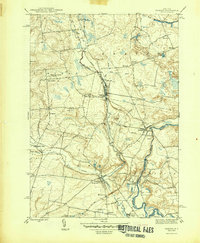
1946 · Remsen
USGS Topo · 1:31,680
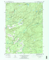
1947 · North Wilmurt
USGS Topo · 1:31,680