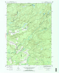
1946 Map of North Wilmurt
USGS Topo · Published 1965About this map
Adirondack Park land dominates this 1946 landscape, where the headwaters of the Black River carve through the heavily forested terrain of Herkimer County. Small, isolated settlements like Wheelertown and Enos serve as anchors in a region defined by its water and woods. The network of drainage is dense, including Muskrat Brook, Hare Brook, and the North Branch, all feeding into the larger river systems. Higher elevations are marked by Stone Dam Mtn and Forty Mountain, while the valley floors are dotted with numerous small bodies of water such as Mink Lake and Deep Lake. Local history is preserved at the Wheelertown Cem, and the presence of Lyons Camp indicates the area's long-standing connection to seasonal logging or recreation. This survey captures the interior wilderness before later mid-century developments altered the character of these remote Adirondack outposts.
Find a feature on this map
29 named features on this map. Tap any name to fly to it.
Don’t see what you’re looking for? This feature index may not catch every label — zoom into the map to look around manually.
Map Details
Editions of this 1946 North Wilmurt Map
2 editions found
Other maps of this area

1897 · Remsen
USGS Topo · 1:62,500

1900 · Remsen
USGS Topo · 1:62,500

1900 · Wilmurt
USGS Topo · 1:62,500

1901 · Old Forge
USGS Topo · 1:62,500

1902 · Wilmurt
USGS Topo · 1:62,500

1912 · Mc Keever
USGS Topo · 1:62,500

1945 · Forestport
USGS Topo · 1:24,000
1946 · Hinckley
USGS Topo · 1:25,000
1946 · Remsen
USGS Topo · 1:31,680
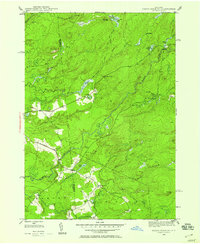
1946 · North Wilmurt
USGS Topo · 1:24,000