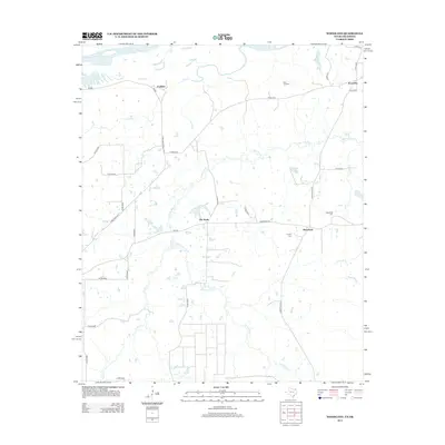
2013 Map of Woodland
USGS Topo · Published 2013About this map
The Red River forms the northern boundary of this Northeast Texas landscape, where a network of rural roads and watercourses defines the settlement pattern near the Oklahoma border. Small communities such as Faulkner, Kanawha, and Pin Hook are linked by farm-to-market routes like FM-906 and FM-195. The area is notably dense with family and community burial grounds, including Pine Hill Cem, Tinsley Cem, and Woodland Cem, which serve as vital landmarks for local genealogical research.
Find a feature on this map
36 named features on this map. Tap any name to fly to it.
Don’t see what you’re looking for? This feature index may not catch every label — zoom into the map to look around manually.
Map Details
Editions of this 2013 Woodland Map
This is the sole edition of this map. No revisions or reprints were ever made.
Other maps of this area

1951 · Slate Shoals
USGS Topo · 1:24,000

1951 · Frogville
USGS Topo · 1:24,000

1951 · Shoals
USGS Topo · 1:24,000

1951 · Kiomatia
USGS Topo · 1:24,000

1951 · Woodland
USGS Topo · 1:24,000

1951 · Manchester
USGS Topo · 1:24,000

1953 · Texarkana
USGS Topo · 1:250,000

1956 · Texarkana
USGS Topo · 1:250,000

1964 · Detroit
USGS Topo · 1:24,000

1964 · Bagwell
USGS Topo · 1:24,000