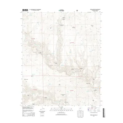
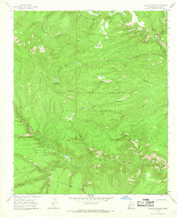
2013 Map of Woodland Park
USGS Topo · Published 2013About this map
The Middle Fork Gila River and West Fork Gila River dominate this portion of the Gila National Forest in Catron County. This landscape is defined by its complex network of drainage systems, including the descriptive Chicken Coop Canyon, Big Bear Canyon, and Nat Straw Canyon. The presence of numerous named water catchments like Yellow Bear Tank and Mattice Tank alongside San Martin Spring highlights the critical role of water management in this arid environment.
Find a feature on this map
47 named features on this map. Tap any name to fly to it.
Don’t see what you’re looking for? This feature index may not catch every label — zoom into the map to look around manually.
Map Details
Editions of this 2013 Woodland Park Map
This is the sole edition of this map. No revisions or reprints were ever made.
Other maps of this area

1911 · Alum Mountain
USGS Topo · 1:125,000

1913 · Alum Mountain
USGS Topo · 1:125,000

1954 · Clifton
USGS Topo · 1:250,000

1957 · Clifton
USGS Topo · 1:250,000

1958 · Clifton
USGS Topo · 1:250,000

1962 · Clifton
USGS Topo · 1:250,000
1963 · Loco Mountain
USGS Topo · 1:24,000
1965 · Canyon Creek Mountains
USGS Topo · 1:24,000
1965 · Diablo Range
USGS Topo · 1:24,000
1965 · Lilley Mountain
USGS Topo · 1:24,000