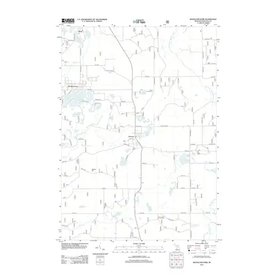
2012 Map of Woodland Park
USGS Topo · Published 2012About this map
Woodland Park and the surrounding Manistee National Forest landscape are defined by an intricate network of glacial lakes and small creeks in this 2012 study. The settlement of Bitely sits at the northern edge, while Brohman occupies a central position along the roadway network. The geography is notably water-heavy, featuring numerous distinct basins like Bluegill Lake, Richmond Lake, and the larger Indian Lake.
Find a feature on this map
85 named features on this map. Tap any name to fly to it.
Don’t see what you’re looking for? This feature index may not catch every label — zoom into the map to look around manually.
Map Details
Editions of this 2012 Woodland Park Map
This is the sole edition of this map. No revisions or reprints were ever made.
Other maps of this area

1954 · Midland
USGS Topo · 1:250,000

1958 · Midland
USGS Topo · 1:250,000

1958 · Woodville
USGS Topo · 1:62,500

1959 · Midland
USGS Topo · 1:250,000

1959 · Reed City
USGS Topo · 1:62,500

1959 · Baldwin
USGS Topo · 1:62,500

1959 · White Cloud
USGS Topo · 1:62,500

1966 · Midland
USGS Topo · 1:250,000
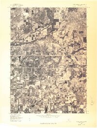
1976 · White Cloud SW
USGS Topo · 1:24,000
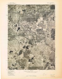
1976 · Baldwin SE
USGS Topo · 1:24,000