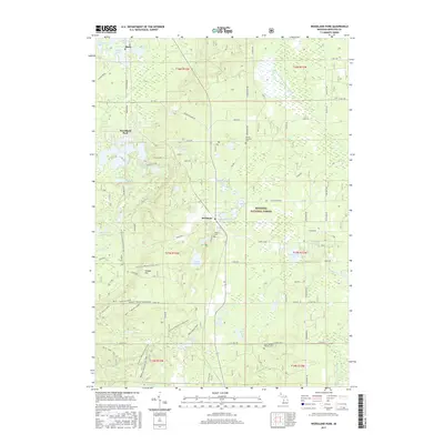
2017 Map of Woodland Park
USGS Topo · Published 2017About this map
Woodland Park and the surrounding glacial lake country are showcased in this 2017 study of Monroe Township. The landscape is defined by the dense forest cover of the Manistee National Forest, where a high concentration of small, named lakes like Webingauw Lake, Richmond Lake, and Loda Lake dot the terrain. These water bodies, many of which lack connecting streams, point to the kettle-hole topography characteristic of this part of Newaygo County.
Find a feature on this map
82 named features on this map. Tap any name to fly to it.
Don’t see what you’re looking for? This feature index may not catch every label — zoom into the map to look around manually.
Map Details
Editions of this 2017 Woodland Park Map
This is the sole edition of this map. No revisions or reprints were ever made.
Other maps of this area

1954 · Midland
USGS Topo · 1:250,000

1958 · Midland
USGS Topo · 1:250,000

1958 · Woodville
USGS Topo · 1:62,500

1959 · Midland
USGS Topo · 1:250,000

1959 · Reed City
USGS Topo · 1:62,500

1959 · Baldwin
USGS Topo · 1:62,500

1959 · White Cloud
USGS Topo · 1:62,500

1966 · Midland
USGS Topo · 1:250,000
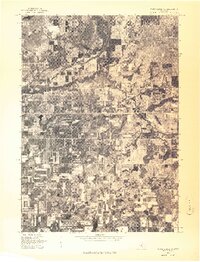
1976 · White Cloud SW
USGS Topo · 1:24,000
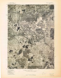
1976 · Baldwin SE
USGS Topo · 1:24,000