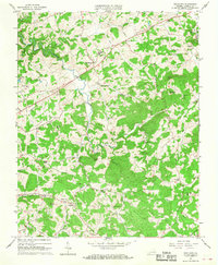
1965 Map of Woodlawn
USGS Topo · Published 1968About this map
Woodlawn serves as a central hub on this mid-1960s survey of Carroll County, Virginia, where the terrain transitions toward the prominent Blue Ridge escarpment. The community structure is defined by a network of rural churches and schools that anchored local life, including Mt Zion Ch, Woodlawn Schs, and Mt Lebanon Ch. Small settlements such as Browns Store and Eona mark the intersections of rural routes, while the hydraulic geography is dominated by the winding path of Crooked Creek and its many tributaries like Beaverdam Creek and Elkhorn Creek. Local leisure and industry are represented by the Gay Hills Country Club near Kennedys Lake and the eponymous Gardner Mills to the northeast. This map captures the region just as the modern road network was solidifying around established hamlets like Higgins Crossroads and Pipers Gap.
Find a feature on this map
49 named features on this map. Tap any name to fly to it.
Don’t see what you’re looking for? This feature index may not catch every label — zoom into the map to look around manually.
Map Details
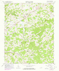
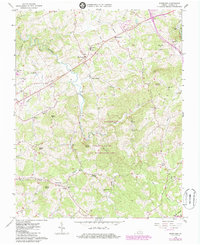
Editions of this 1965 Woodlawn Map
3 editions found
Other maps of this area

1889 · Hillsville
USGS Topo · 1:125,000

1892 · Hillsville
USGS Topo · 1:125,000

1896 · Hillsville
USGS Topo · 1:125,000

1930 · Max Meadows
USGS Topo · 1:62,500

1931 · Galax
USGS Topo · 1:48,000

1933 · Galax
USGS Topo · 1:62,500

1953 · Winston-Salem
USGS Topo · 1:250,000

1955 · Winston-Salem
USGS Topo · 1:250,000

1956 · Macks Mountain
USGS Topo · 1:62,500

1957 · Mount Airy
USGS Topo · 1:62,500