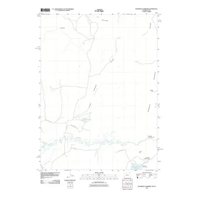
2011 Map of Woodruff Narrows
USGS Topo · Published 2011About this map
Bear River winds through the high desert of Uinta County in this 2011 survey, feeding the significant Woodruff Narrows Reservoir behind the Woodruff Narrows Dam. The landscape is defined by the sharp constriction of the waterway at the Woodruff Upper Narrows and Woodruff Lower Narrows, providing a clear record of the area's vital water management infrastructure. High ground is marked by the Session Mountains to the east and notable crossings like Session Pass and Wood Pass. This arid terrain is dotted with critical water sources for local livestock or wildlife, including Gil Smith Spring, Warner Spring, and Wild Horse Spring. Trace the winding paths of Little Crawford Rd and Francis Rd as they navigate the basin's drainage patterns and flats.
Find a feature on this map
27 named features on this map. Tap any name to fly to it.
Don’t see what you’re looking for? This feature index may not catch every label — zoom into the map to look around manually.
Map Details
Editions of this 2011 Woodruff Narrows Map
This is the sole edition of this map. No revisions or reprints were ever made.
Other maps of this area

1912 · Randolph
USGS Topo · 1:125,000

1954 · Ogden
USGS Topo · 1:250,000

1958 · Ogden
USGS Topo · 1:250,000

1960 · Ogden
USGS Topo · 1:250,000

1962 · Sawtooth Mountain
USGS Topo · 1:24,000

1962 · Windy Point
USGS Topo · 1:24,000

1965 · Three Forks
USGS Topo · 1:24,000

1968 · Rex Peak
USGS Topo · 1:24,000

1968 · Randolph
USGS Topo · 1:24,000

1968 · Woodruff
USGS Topo · 1:24,000