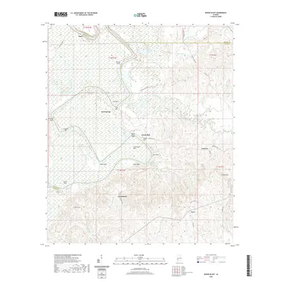
2020 Map of Woods Bluff
USGS Topo · Published 2020About this map
The Tombigbee River carves a winding path through this corner of Alabama, marking the boundary between Marengo, Choctaw, and Clarke Counties. The landscape is defined by the river’s hydrological features, including numerous shoals and bars such as Barneys Shoals and Cade Bar. These natural river features dictated early navigation and settlement patterns, with historical landings like Slater Landing and Campbell Landing serving as vital touchpoints along the water.
Find a feature on this map
60 named features on this map. Tap any name to fly to it.
Don’t see what you’re looking for? This feature index may not catch every label — zoom into the map to look around manually.
Map Details
Editions of this 2020 Woods Bluff Map
This is the sole edition of this map. No revisions or reprints were ever made.
Other maps of this area

1953 · Montgomery
USGS Topo · 1:250,000

1953 · Andalusia
USGS Topo · 1:250,000

1953 · Hattiesburg
USGS Topo · 1:250,000

1953 · Meridian
USGS Topo · 1:250,000

1956 · Montgomery
USGS Topo · 1:250,000

1957 · Meridian
USGS Topo · 1:250,000

1957 · Montgomery
USGS Topo · 1:250,000

1957 · Andalusia
USGS Topo · 1:250,000

1958 · Hattiesburg
USGS Topo · 1:250,000

1965 · Meridian
USGS Topo · 1:250,000