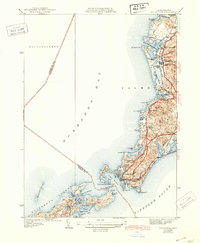
1941 Map of Woods Hole
USGS Topo · Published 1943About this map
The southwestern tip of Cape Cod meets the sea where Buzzards Bay and Vineyard Sound converge. This coastal survey showcases the intricate geography of the Elizabeth Islands, including Naushon Island and Nonamesset Island, separated from the mainland by the treacherous Woods Hole Passage. On the mainland, the New York New Haven and Hartford railroad line runs the length of the coast, connecting West Falmouth and Falmouth to the maritime hub of Woods Hole. The landscape is a mosaic of glacial ponds and marshes, such as the Great Sippewissett Marsh and Quahog Pond, alongside recreational landmarks like the Falmouth Country Club. Local history is anchored by sites like Crowell Cem and the distinctive Nobska Pt, illustrating a region defined by its reliance on both the rail and the sea.
Find a feature on this map
71 named features on this map. Tap any name to fly to it.
Don’t see what you’re looking for? This feature index may not catch every label — zoom into the map to look around manually.
Map Details
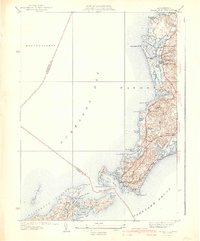
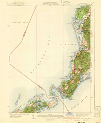
Editions of this 1941 Woods Hole Map
3 editions found
Other maps of this area

1885 · New Bedford
USGS Topo · 1:62,500

1886 · Falmouth
USGS Topo · 1:62,500

1887 · Gay Head
USGS Topo · 1:62,500

1887 · Marthas Vineyard
USGS Topo · 1:62,500

1888 · New Bedford
USGS Topo · 1:62,500

1888 · Falmouth
USGS Topo · 1:62,500

1889 · Gay Head
USGS Topo · 1:62,500

1889 · Marthas Vineyard
USGS Topo · 1:62,500

1893 · Gay Head
USGS Topo · 1:62,500

1893 · Falmouth
USGS Topo · 1:62,500