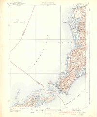
1941 Map of Woods Hole
USGS Topo · Published 1941About this map
Woods Hole and the surrounding coastline of Falmouth are captured here during a time of established maritime tradition and expanding leisure culture. The intricate shoreline, surveyed in the late 1930s, reveals a landscape defined by saltwater inlets and freshwater coastal ponds like Oyster Pond and Salt Pond. The New York New Haven and Hartford railroad line terminates at the harbor, signifying the critical transportation link that connected this seaside community to mainland commerce and seasonal visitors.
Find a feature on this map
69 named features on this map. Tap any name to fly to it.
Don’t see what you’re looking for? This feature index may not catch every label — zoom into the map to look around manually.
Map Details
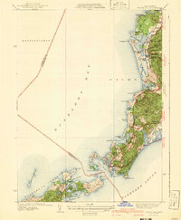
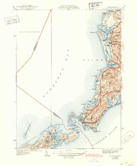
Editions of this 1941 Woods Hole Map
3 editions found
Other maps of this area

1885 · New Bedford
USGS Topo · 1:62,500

1886 · Falmouth
USGS Topo · 1:62,500

1887 · Gay Head
USGS Topo · 1:62,500

1887 · Marthas Vineyard
USGS Topo · 1:62,500

1888 · New Bedford
USGS Topo · 1:62,500

1888 · Falmouth
USGS Topo · 1:62,500

1889 · Gay Head
USGS Topo · 1:62,500

1889 · Marthas Vineyard
USGS Topo · 1:62,500

1893 · Gay Head
USGS Topo · 1:62,500

1893 · Falmouth
USGS Topo · 1:62,500