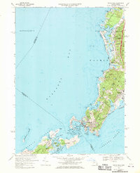
1967 Map of Woods Hole
USGS Topo · Published 1970About this map
Woods Hole and the surrounding southwestern coast of Cape Cod are shown here in detail following the mid-century expansion of maritime science and coastal settlement. The landscape is defined by its deep relationship with the sea, anchored by the Oceanographic Inst and a complex network of coastal inlets like Great Harbor and Little Harbor. The terrain transitions from the developed streets of Falmouth down to the rocky outcroppings of the Elizabeth Islands, including Nonamesset Island and Uncatena Island.
Find a feature on this map
78 named features on this map. Tap any name to fly to it.
Don’t see what you’re looking for? This feature index may not catch every label — zoom into the map to look around manually.
Map Details
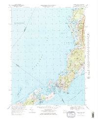
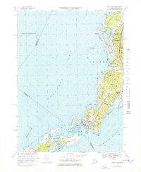
Editions of this 1967 Woods Hole Map
3 editions found
Other maps of this area

1885 · New Bedford
USGS Topo · 1:62,500

1886 · Falmouth
USGS Topo · 1:62,500

1887 · Gay Head
USGS Topo · 1:62,500

1887 · Marthas Vineyard
USGS Topo · 1:62,500

1888 · New Bedford
USGS Topo · 1:62,500

1888 · Falmouth
USGS Topo · 1:62,500

1889 · Gay Head
USGS Topo · 1:62,500

1889 · Marthas Vineyard
USGS Topo · 1:62,500

1893 · Gay Head
USGS Topo · 1:62,500

1893 · Falmouth
USGS Topo · 1:62,500