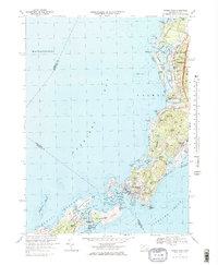
1967 Map of Woods Hole
USGS Topo · Published 1978About this map
Woods Hole serves as the focal point of this late-1960s coastal survey, showcasing its established role as a scientific hub with the Oceanographic Inst and maritime landmarks like Nobska Point Light. The landscape is defined by the intricate relationship between the land and the surrounding waters of Buzzards Bay and Vineyard Sound. This era captures the shoreline before later modern developments, with a mix of residential clusters in West Falmouth and Quissett alongside recreational spaces like the Woods Hole Golf Club.
Find a feature on this map
87 named features on this map. Tap any name to fly to it.
Don’t see what you’re looking for? This feature index may not catch every label — zoom into the map to look around manually.
Map Details
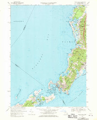
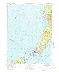
Editions of this 1967 Woods Hole Map
3 editions found
Other maps of this area

1885 · New Bedford
USGS Topo · 1:62,500

1886 · Falmouth
USGS Topo · 1:62,500

1887 · Gay Head
USGS Topo · 1:62,500

1887 · Marthas Vineyard
USGS Topo · 1:62,500

1888 · New Bedford
USGS Topo · 1:62,500

1888 · Falmouth
USGS Topo · 1:62,500

1889 · Gay Head
USGS Topo · 1:62,500

1889 · Marthas Vineyard
USGS Topo · 1:62,500

1893 · Gay Head
USGS Topo · 1:62,500

1893 · Falmouth
USGS Topo · 1:62,500