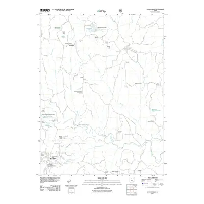
2011 Map of Woodsfield
USGS Topo · Published 2011About this map
Woodsfield serves as the seat of Monroe County, anchoring a landscape defined by the winding paths of Sunfish Creek and its many tributaries, including Standingstone Run and Death Creek. The early 21st-century landscape is marked by a deep-seated commemorative geography, with numerous burial grounds such as the Quaker Cemetery, Pioneer Cemetery, and Saint Sylvester Roman Catholic Cemetery reflecting the diverse religious and pioneer roots of the area.
Find a feature on this map
100 named features on this map. Tap any name to fly to it.
Don’t see what you’re looking for? This feature index may not catch every label — zoom into the map to look around manually.
Map Details
Editions of this 2011 Woodsfield Map
This is the sole edition of this map. No revisions or reprints were ever made.
Other maps of this area

1905 · Clarington
USGS Topo · 1:62,500

1905 · New Matamoras
USGS Topo · 1:62,500

1905 · Woodsfield
USGS Topo · 1:62,500

1906 · New Martinsville
USGS Topo · 1:62,500

1924 · New Martinsville
USGS Topo · 1:62,500

1924 · New Matamoras
USGS Topo · 1:62,500

1926 · New Martinsville
USGS Topo · 1:62,500

1926 · New Matamoras
USGS Topo · 1:62,500

1935 · Clarington
USGS Topo · 1:62,500

1940 · Clarington
USGS Topo · 1:62,500