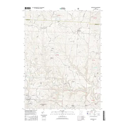
2016 Map of Woodsfield
USGS Topo · Published 2016About this map
Woodsfield and its surrounding hill country in Monroe County are defined by a network of ridge-top settlements and deep-cut stream valleys. The town serves as a central hub for the region, anchored by historical sites like Oaklawn Cem and the Saint Sylvester Roman Catholic Cem. To the north and east, the small communities of Jerusalem, Beallsville, and Ozark are connected by winding roads that follow the high ground, while the southern reaches descend into the Wayne National Forest.
Find a feature on this map
166 named features on this map. Tap any name to fly to it.
Don’t see what you’re looking for? This feature index may not catch every label — zoom into the map to look around manually.
Map Details
Editions of this 2016 Woodsfield Map
This is the sole edition of this map. No revisions or reprints were ever made.
Other maps of this area

1905 · Clarington
USGS Topo · 1:62,500

1905 · New Matamoras
USGS Topo · 1:62,500

1905 · Woodsfield
USGS Topo · 1:62,500

1906 · New Martinsville
USGS Topo · 1:62,500

1924 · New Martinsville
USGS Topo · 1:62,500

1924 · New Matamoras
USGS Topo · 1:62,500

1926 · New Martinsville
USGS Topo · 1:62,500

1926 · New Matamoras
USGS Topo · 1:62,500

1935 · Clarington
USGS Topo · 1:62,500

1940 · Clarington
USGS Topo · 1:62,500