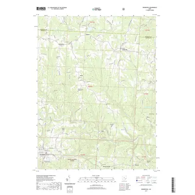
2019 Map of Woodsfield
USGS Topo · Published 2019About this map
The Monroe County Courthouse stands as the central landmark of Woodsfield, situated at the heart of a landscape defined by rolling ridge lines and deep creek valleys. This portion of Monroe County is characterized by a dense network of upland roads and rural cemeteries, including the Oaklawn Cem and Pioneer Cem, which trace the community's early settlement patterns. To the south, the borders of the Wayne National Forest encroach upon the terrain near Mount Carrick, while the Monroe County Airport occupies a prominent plateau north of the county seat.
Find a feature on this map
133 named features on this map. Tap any name to fly to it.
Don’t see what you’re looking for? This feature index may not catch every label — zoom into the map to look around manually.
Map Details
Editions of this 2019 Woodsfield Map
This is the sole edition of this map. No revisions or reprints were ever made.
Other maps of this area

1905 · Clarington
USGS Topo · 1:62,500

1905 · New Matamoras
USGS Topo · 1:62,500

1905 · Woodsfield
USGS Topo · 1:62,500

1906 · New Martinsville
USGS Topo · 1:62,500

1924 · New Martinsville
USGS Topo · 1:62,500

1924 · New Matamoras
USGS Topo · 1:62,500

1926 · New Martinsville
USGS Topo · 1:62,500

1926 · New Matamoras
USGS Topo · 1:62,500

1935 · Clarington
USGS Topo · 1:62,500

1940 · Clarington
USGS Topo · 1:62,500