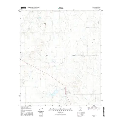
2016 Map of Woodson
USGS Topo · Published 2016About this map
Woodson sits at the intersection of rural ranching routes and winding waterways in this north-central Texas landscape. The settlement is anchored by local streets such as Church St and W Hill St, while the surrounding terrain is defined by a series of drainages including Middle Kings Cr and Bush Knob Cr. Prominent water features like Lake Woodson and Hugh Dickie Lake provide clear markers of the local hydrology south of the town center. To the north, the elevation rises toward Hay Rick Mtn, a notable landmark near McKnight Lake. The map reveals a dense network of country roads, such as Davis Ranch Rd and Hay Rake Mt Rd, that reflect the enduring ranching economy and land divisions of Throckmorton County.
Find a feature on this map
34 named features on this map. Tap any name to fly to it.
Don’t see what you’re looking for? This feature index may not catch every label — zoom into the map to look around manually.
Map Details
Editions of this 2016 Woodson Map
This is the sole edition of this map. No revisions or reprints were ever made.
Other maps of this area

1890 · Breckenridge
USGS Topo · 1:125,000

1892 · Albany
USGS Topo · 1:125,000

1893 · Albany
USGS Topo · 1:125,000

1954 · Abilene
USGS Topo · 1:250,000

1954 · Wichita Falls
USGS Topo · 1:250,000

1958 · Wichita Falls
USGS Topo · 1:250,000

1958 · Abilene
USGS Topo · 1:250,000

1965 · Lusk
USGS Topo · 1:24,000

1965 · Fort Griffin
USGS Topo · 1:24,000

1965 · Throckmorton NE
USGS Topo · 1:24,000