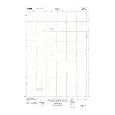
2010 Map of Woodstock
USGS Topo · Published 2010About this map
Woodstock serves as the primary hub of activity in this southwestern Minnesota landscape, situated along the southern edge of the survey area. The town is anchored by the Woodstock Post Office and sits at the intersection of a grid-like road network, including County Hwy-67 and Palmer St N. The surrounding terrain is defined by a series of waterways and depressions that suggest a seasonally variable hydrology, most notably Engbarth-Slough and Klinker Slough. To the northwest, the elevation rises slightly at Stony Point, while the rest of the land is drained by the meandering courses of the East Branch Rock River, Beaver Creek, and the North Branch Chanarambie Creek. The map documents a predominantly rural, agricultural layout where county lines and section-line roads like County Line Ave dictate the movement of goods and people across the Pipestone County countryside.
Find a feature on this map
26 named features on this map. Tap any name to fly to it.
Don’t see what you’re looking for? This feature index may not catch every label — zoom into the map to look around manually.
Map Details
Editions of this 2010 Woodstock Map
This is the sole edition of this map. No revisions or reprints were ever made.
Other maps of this area

1953 · Watertown
USGS Topo · 1:250,000

1953 · New Ulm
USGS Topo · 1:250,000

1954 · Fairmont
USGS Topo · 1:250,000

1955 · Sioux Falls
USGS Topo · 1:250,000

1957 · New Ulm
USGS Topo · 1:250,000

1958 · New Ulm
USGS Topo · 1:250,000

1958 · Sioux Falls
USGS Topo · 1:250,000

1958 · Fairmont
USGS Topo · 1:250,000

1958 · Watertown
USGS Topo · 1:250,000

1967 · New Ulm
USGS Topo · 1:250,000