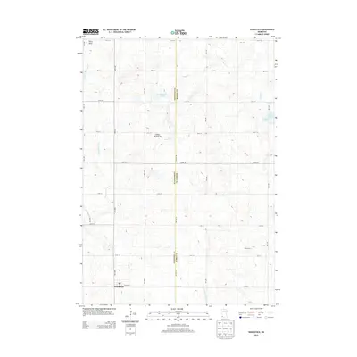
2013 Map of Woodstock
USGS Topo · Published 2013About this map
Woodstock sits at the southwestern edge of this survey, where the township’s street grid meets the expansive agricultural landscape of Pipestone County. This 2013 record captures the intersection of the Coteau des Prairies upland with a complex drainage system, including the East Br Rock River and the North Br Chanarambie Cr. The map highlights a rural economy centered on operations like Gleis Farms, while preserving the local Po and a dense network of numbered gravel roads. Low-lying marsh features such as Engbarth Slough and Klinker Slough punctuate the grid, illustrating the natural water retention typical of this glacial plateau. Along the county line with Murray County, the land rises toward Stony Point, providing a clear view of the prairie's topography before the modern changes of the 21st century.
Find a feature on this map
29 named features on this map. Tap any name to fly to it.
Don’t see what you’re looking for? This feature index may not catch every label — zoom into the map to look around manually.
Map Details
Editions of this 2013 Woodstock Map
This is the sole edition of this map. No revisions or reprints were ever made.
Other maps of this area

1953 · Watertown
USGS Topo · 1:250,000

1953 · New Ulm
USGS Topo · 1:250,000

1954 · Fairmont
USGS Topo · 1:250,000

1955 · Sioux Falls
USGS Topo · 1:250,000

1957 · New Ulm
USGS Topo · 1:250,000

1958 · New Ulm
USGS Topo · 1:250,000

1958 · Sioux Falls
USGS Topo · 1:250,000

1958 · Fairmont
USGS Topo · 1:250,000

1958 · Watertown
USGS Topo · 1:250,000

1967 · New Ulm
USGS Topo · 1:250,000