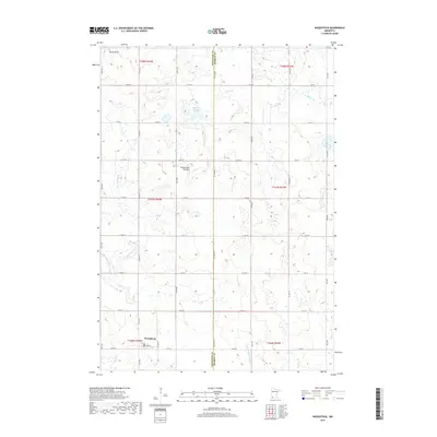
2019 Map of Woodstock
USGS Topo · Published 2019About this map
Woodstock serves as the primary settlement on this southwestern Minnesota prairie, situated at the junction of Co Rd 67 and Co Rd 18. The landscape is dominated by the Coteau des Prairies, a high plateau that influences the local drainage patterns. Water features are frequent but often seasonal, including the Engbarth Slough and the winding headwaters of the Beaver Cr and E Br Rock River. The map illustrates a rigid section-line road grid, which defines the agricultural character of the border between Pipestone and Murray counties. In the northeast corner, Stony Point stands as a localized landmark amidst the wetland-dotted terrain, while the N Br Chanarambie Cr drains the southeastern portion of the quadrangle.
Find a feature on this map
30 named features on this map. Tap any name to fly to it.
Don’t see what you’re looking for? This feature index may not catch every label — zoom into the map to look around manually.
Map Details
Editions of this 2019 Woodstock Map
This is the sole edition of this map. No revisions or reprints were ever made.
Other maps of this area

1953 · Watertown
USGS Topo · 1:250,000

1953 · New Ulm
USGS Topo · 1:250,000

1954 · Fairmont
USGS Topo · 1:250,000

1955 · Sioux Falls
USGS Topo · 1:250,000

1957 · New Ulm
USGS Topo · 1:250,000

1958 · New Ulm
USGS Topo · 1:250,000

1958 · Sioux Falls
USGS Topo · 1:250,000

1958 · Fairmont
USGS Topo · 1:250,000

1958 · Watertown
USGS Topo · 1:250,000

1967 · New Ulm
USGS Topo · 1:250,000