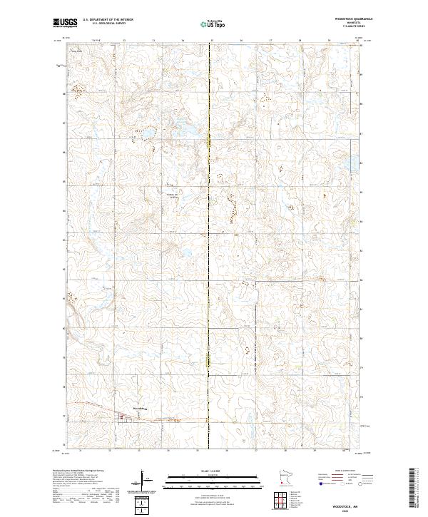
2022 Map of Woodstock
USGS Topo · Published 2022About this map
Coteau des Prairies defines the elevated landscape of this southwestern Minnesota territory, where the continental divide separates waters flowing toward the Missouri and Mississippi systems. The small settlement of Woodstock sits at the intersection of Palmer St and Co Rd 67, serving as a focal point for the surrounding agricultural grid. This area is characterized by its glacial hydrology, featuring numerous small wetlands and prominent water bodies like Engbarth Slough and the headwaters of the E Br Rock River. The map captures a transition in land use, showing the Casey Jones State Trl following an established corridor through the town of Woodstock. To the north, the terrain rises toward Stony Point, while the eastern boundary is marked by the meandering path of Beaver Cr crossing into neighboring Murray County.
Find a feature on this map
37 named features on this map. Tap any name to fly to it.
Don’t see what you’re looking for? This feature index may not catch every label — zoom into the map to look around manually.
Map Details
Editions of this 2022 Woodstock Map
This is the sole edition of this map. No revisions or reprints were ever made.
Other maps of this area

1953 · Watertown
USGS Topo · 1:250,000

1953 · New Ulm
USGS Topo · 1:250,000

1954 · Fairmont
USGS Topo · 1:250,000

1955 · Sioux Falls
USGS Topo · 1:250,000

1957 · New Ulm
USGS Topo · 1:250,000

1958 · New Ulm
USGS Topo · 1:250,000

1958 · Sioux Falls
USGS Topo · 1:250,000

1958 · Fairmont
USGS Topo · 1:250,000

1958 · Watertown
USGS Topo · 1:250,000

1967 · New Ulm
USGS Topo · 1:250,000