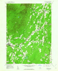
1945 Map of Woodstock
USGS Topo · Published 1963About this map
Overlook Mountain and the high peaks of Catskill Park dominate the northwestern quadrant of this mid-century survey, casting long shadows over the emerging arts colony and surrounding hamlets. The landscape transitions from the steep, forested slopes of Indian Head Mountain and Plattekill Mountain to a complex valley floor where the Saw Kill and Plattekill Creek provide the primary drainage. This era shows the local water infrastructure in detail, including the series of Kingston Reservoir No 1, Kingston Reservoir No 2, and Kingston Reservoir No 4 south of Zena. Rural life is centered around local institutions like Pine Grove Sch and the many numbered schoolhouses, while clusters of settlement at Shultis Corners and Daisy illustrate the pre-suburban density of Ulster County. Significant landmarks like Chestnut Hill Cem and the Saugerties Reservoir provide fixed points for genealogists tracing family locations in the town of Woodstock.
Find a feature on this map
41 named features on this map. Tap any name to fly to it.
Don’t see what you’re looking for? This feature index may not catch every label — zoom into the map to look around manually.
Map Details
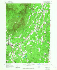
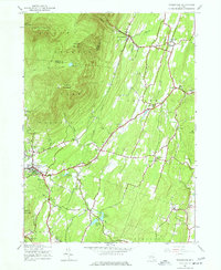
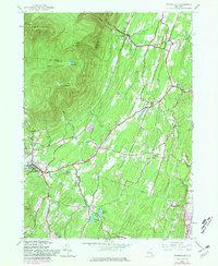
Editions of this 1945 Woodstock Map
4 editions found
Other maps of this area

1892 · Kaaterskill
USGS Topo · 1:62,500

1893 · Kaaterskill
USGS Topo · 1:62,500

1894 · Kaaterskill
USGS Topo · 1:62,500

1895 · Catskill
USGS Topo · 1:62,500

1898 · Rhinebeck
USGS Topo · 1:62,500

1899 · Kaaterskill
USGS Topo · 1:62,500

1901 · Rosendale
USGS Topo · 1:62,500

1903 · Rosendale
USGS Topo · 1:62,500

1903 · Kaaterskill
USGS Topo · 1:62,500

1934 · Rhinebeck
USGS Topo · 1:48,000