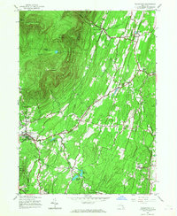
1945 Map of Woodstock
USGS Topo · Published 1968About this map
Woodstock serves as the focal point of this 1940s survey, situated at the base of the dramatic eastern escarpment of the Catskill Park. The landscape is defined by the sharp transition from the steep elevations of Overlook Mountain and Plattekill Mountain to the rolling lowlands where several rural settlements are clustered. Water management for nearby populations is evident in the presence of the Saugerties Reservoir and a series of municipal basins including Kingston Reservoir No. 1 and Kingston Reservoir No. 2. Local life is anchored by a network of numbered district schools, such as School No 15 and School No. 14, and small crossroads communities like Shuttis Corners and Zena. The northeastern corner follows the winding path of Plattekill Creek near West Saugerties, illustrating the early transportation routes that followed the natural topography of the clove and mountain gaps.
Find a feature on this map
42 named features on this map. Tap any name to fly to it.
Don’t see what you’re looking for? This feature index may not catch every label — zoom into the map to look around manually.
Map Details
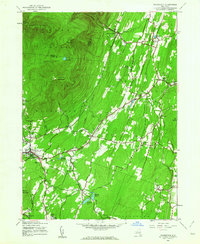
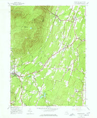
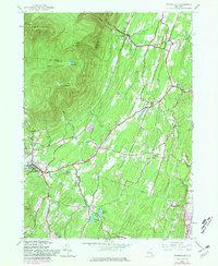
Editions of this 1945 Woodstock Map
4 editions found
Other maps of this area

1892 · Kaaterskill
USGS Topo · 1:62,500

1893 · Kaaterskill
USGS Topo · 1:62,500

1894 · Kaaterskill
USGS Topo · 1:62,500

1895 · Catskill
USGS Topo · 1:62,500

1898 · Rhinebeck
USGS Topo · 1:62,500

1899 · Kaaterskill
USGS Topo · 1:62,500

1901 · Rosendale
USGS Topo · 1:62,500

1903 · Rosendale
USGS Topo · 1:62,500

1903 · Kaaterskill
USGS Topo · 1:62,500

1934 · Rhinebeck
USGS Topo · 1:48,000