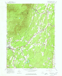
1945 Map of Woodstock
USGS Topo · Published 1977About this map
Woodstock serves as a focal point in the southern portion of this mid-century survey, situated at the base of the high peaks of Catskill Park. The landscape is defined by the steep transition from the northern mountains, including Indian Head Mountain and Overlook Mountain, to the lower valleys of the Saw Kill and Plattekill Creek. This era of development is marked by a complex water management system featuring several municipal assets like Kingston Reservoir No. 2 and the Saugerties Reservoir. Local settlements such as Shultis Corners, Zena, and West Saugerties are mapped alongside small rural landmarks like the Chestnut Hill Cem and Pine Grove Sch, documenting the established community structure of Ulster County before later suburban expansion. The boundary between Greene and Ulster counties follows the rugged ridgelines through the high country.
Find a feature on this map
42 named features on this map. Tap any name to fly to it.
Don’t see what you’re looking for? This feature index may not catch every label — zoom into the map to look around manually.
Map Details
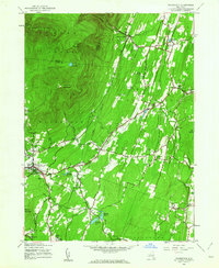
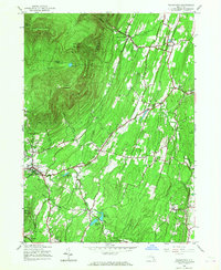
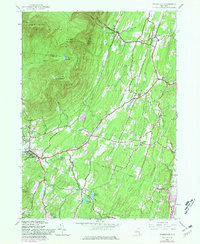
Editions of this 1945 Woodstock Map
4 editions found
Other maps of this area

1892 · Kaaterskill
USGS Topo · 1:62,500

1893 · Kaaterskill
USGS Topo · 1:62,500

1894 · Kaaterskill
USGS Topo · 1:62,500

1895 · Catskill
USGS Topo · 1:62,500

1898 · Rhinebeck
USGS Topo · 1:62,500

1899 · Kaaterskill
USGS Topo · 1:62,500

1901 · Rosendale
USGS Topo · 1:62,500

1903 · Rosendale
USGS Topo · 1:62,500

1903 · Kaaterskill
USGS Topo · 1:62,500

1934 · Rhinebeck
USGS Topo · 1:48,000