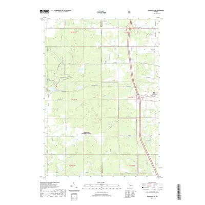
2019 Map of Woodville NE
USGS Topo · Published 2019About this map
Big Rapids sits at the eastern edge of this modern landscape, where the urban grid meets the recreational and timbered reaches of the Manistee National Forest. The map documents a transition from the structured residential blocks and commercial infrastructure around Roben-Hood Airport to the intricate network of the Hungerford Bike Trail and various horse trail segments to the west. This 2019 survey illustrates the persistent importance of local family history and rural burial grounds, clearly marking the Van Gilder Cem, Hungerford Cem, and Mount Camp Cem across the township lines. The terrain is defined by its water, with Hungerford Lake, Bissel Lake, and Mud Lake dotting the forested interior, while creeks like Cold Spring Cr and Ladner Cr drain the watershed toward the Muskegon River system.
Find a feature on this map
54 named features on this map. Tap any name to fly to it.
Don’t see what you’re looking for? This feature index may not catch every label — zoom into the map to look around manually.
Map Details
Editions of this 2019 Woodville NE Map
This is the sole edition of this map. No revisions or reprints were ever made.
Other maps of this area

1954 · Midland
USGS Topo · 1:250,000

1958 · Midland
USGS Topo · 1:250,000

1958 · Woodville
USGS Topo · 1:62,500

1958 · Big Rapids
USGS Topo · 1:62,500

1959 · Midland
USGS Topo · 1:250,000

1959 · Evart
USGS Topo · 1:62,500

1959 · Reed City
USGS Topo · 1:62,500

1966 · Midland
USGS Topo · 1:250,000

1976 · Evart SW
USGS Topo · 1:24,000

1976 · Big Rapids SW
USGS Topo · 1:24,000