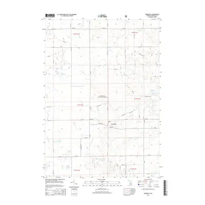
2014 Map of Woodville
USGS Topo · Published 2014About this map
Manistee National Forest dominates this section of Newaygo County, where a network of section-line roads like N Pine Ave and 6 Mile Rd grid the landscape. The small settlement of Woodville serves as a local focal point, accompanied by the Woodville Cem located just west of the junction at Filmore Rd. This area serves as a significant drainage divide, where the headwaters of the Little S Br Pere Marquette River flow northward while the S Br White River and Mullen Cr drain the southern reaches. Numerous small glacial basins are scattered throughout the forest, including Brush Lake, Toogood Lake, and Kinney Lake, illustrating the post-glacial topography typical of this part of Michigan. The map details the transition from established agriculture near the county borders to the protected wooded interior of the national forest.
Find a feature on this map
53 named features on this map. Tap any name to fly to it.
Don’t see what you’re looking for? This feature index may not catch every label — zoom into the map to look around manually.
Map Details
Editions of this 2014 Woodville Map
This is the sole edition of this map. No revisions or reprints were ever made.
Other maps of this area

1954 · Midland
USGS Topo · 1:250,000

1958 · Midland
USGS Topo · 1:250,000

1958 · Woodville
USGS Topo · 1:62,500

1959 · Midland
USGS Topo · 1:250,000

1959 · Reed City
USGS Topo · 1:62,500

1959 · Baldwin
USGS Topo · 1:62,500

1959 · White Cloud
USGS Topo · 1:62,500

1966 · Midland
USGS Topo · 1:250,000
1976 · Baldwin SE
USGS Topo · 1:24,000

1976 · White Cloud SE
USGS Topo · 1:24,000