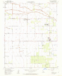
1950 Map of Woodville
USGS Topo · Published 1963About this map
The agricultural landscape of Tulare County is defined here by the branching waters of the Tule River, which divides into the North Branch Tule River, Middle Branch Tule River, and South Branch Tule River. This 1950s era survey captures a period of intensive land use, highlighted by the Woodville Farm Labor Supply Center and specialized agricultural hubs like Cotton Center and the Schenley Ranch. The map reveals a high density of rural schools serving these farming communities, including Surprise Sch, Vincent Sch, and the Pleasant View School, while the Harmony Sch (Abandoned) stands as a marker of shifting local populations. Small rural hubs such as Woodville, Poplar, and Vincent are interconnected by a grid of farm-to-market roads like Poplar Ave and Macomber Road, alongside irrigation infrastructure like the Wood Central Ditch and Little Pioneer Ditch that sustained the region's productivity.
Find a feature on this map
28 named features on this map. Tap any name to fly to it.
Don’t see what you’re looking for? This feature index may not catch every label — zoom into the map to look around manually.
Map Details
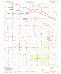
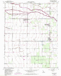
Editions of this 1950 Woodville Map
3 editions found
Other maps of this area

1925 · Tulare
USGS Topo · 1:31,680

1925 · Tipton
USGS Topo · 1:31,680

1927 · Cairns Corner
USGS Topo · 1:31,680

1927 · Tulare
USGS Topo · 1:31,680

1928 · Tipton
USGS Topo · 1:31,680

1928 · Woodville
USGS Topo · 1:31,680

1928 · Lindsay
USGS Topo · 1:31,680

1929 · Sausalito School
USGS Topo · 1:31,680

1929 · Porterville
USGS Topo · 1:31,680

1929 · Pixley
USGS Topo · 1:31,680