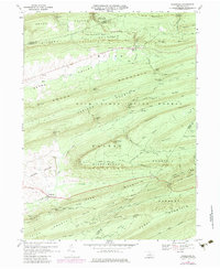
1968 Map of Woodward
USGS Topo · Published 1980About this map
The ridge-and-valley landscape of Central Pennsylvania is meticulously detailed here, defined by the parallel elevations of Bald Eagle Mountain, Brush Mountain, and Winkelblech Mountain. The small village of Woodward serves as the primary settlement within Penns Valley, while further north, the community of Livonia sits near Elk Creek at the foot of Hough Mountain. Much of the territory is encompassed by the Bald Eagle State Forest, where the terrain is marked by numerous traditional passage points such as Wohlford Gap, Whetstone Gap, and Volfs Store Gap. This 1973 photorevision highlights the transition from forest to agricultural use in the lowlands. Historical land use is evident in features like the Old Tar Trail and the Radio Tower Woodward, alongside localized resource extraction sites like the Gravel Pit near Voneida.
Find a feature on this map
66 named features on this map. Tap any name to fly to it.
Don’t see what you’re looking for? This feature index may not catch every label — zoom into the map to look around manually.
Map Details
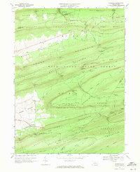
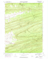
Editions of this 1968 Woodward Map
3 editions found
Other maps of this area

1921 · Williamsport
USGS Topo · 1:48,000

1921 · Lock Haven
USGS Topo · 1:62,500

1923 · Lock Haven
USGS Topo · 1:62,500

1923 · Williamsport
USGS Topo · 1:62,500

1937 · Millheim
USGS Topo · 1:48,000

1938 · Mifflinburg
USGS Topo · 1:48,000

1941 · Millheim
USGS Topo · 1:62,500

1943 · Mifflinburg
USGS Topo · 1:62,500

1944 · Williamsport
USGS Topo · 1:62,500

1944 · Lock Haven
USGS Topo · 1:62,500