2024 Map of Woodworth
USGS Topo · Published 2024About this map
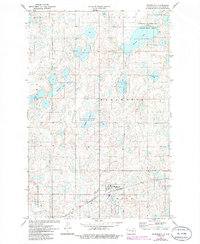
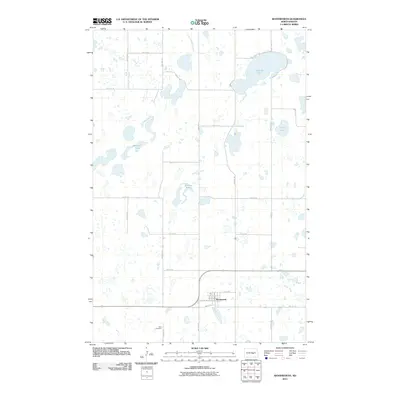
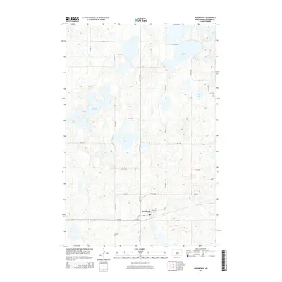
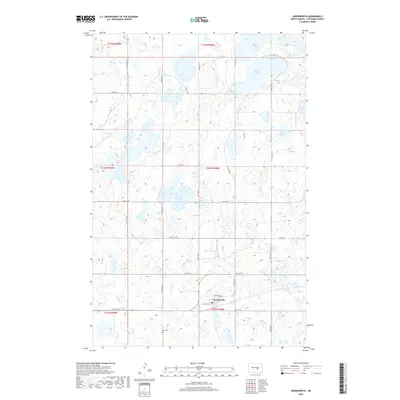
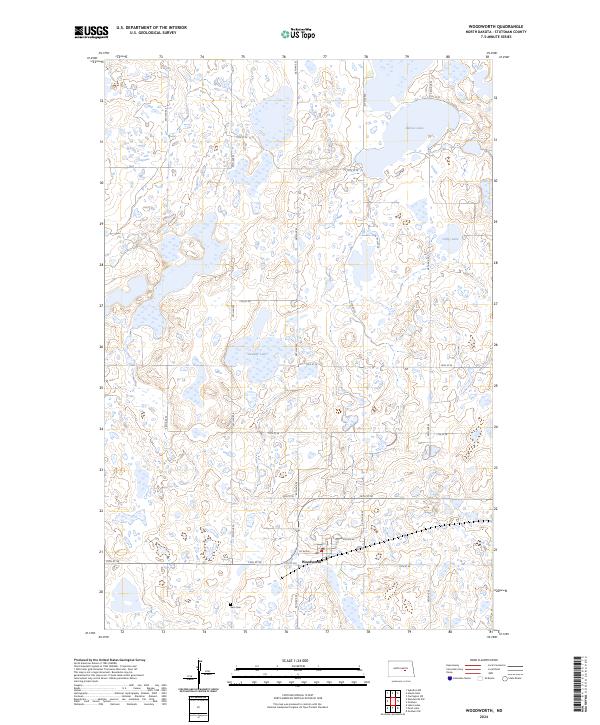
Woodworth anchors the southern portion of this prairie landscape, serving as a focal point for the surrounding agricultural grid of Stutsman County. The township is characterized by numerous glacial depressions and wetlands, many of which are preserved within the Stutsman County Waterfowl Production Area. These protected zones are scattered across the terrain, surrounding significant water bodies like Barnes Lake, Sunday Lake, and Colby Lake. To the west of the town site, the Gem Cem provides a specific point of interest for genealogists and local historians tracing the early families of this region. The map reflects a modern infrastructure of precise section lines and rural routes, such as 19th St SE and 56th Ave SE, which define the enduring settlement pattern of the North Dakota plains.
Find a feature on this map
28 named features on this map. Tap any name to fly to it.
Don’t see what you’re looking for? This feature index may not catch every label — zoom into the map to look around manually.
Map Details
Editions of this 2024 Woodworth Map
This is the sole edition of this map. No revisions or reprints were ever made.
Historical Maps of Woodworth Through Time
6 maps found