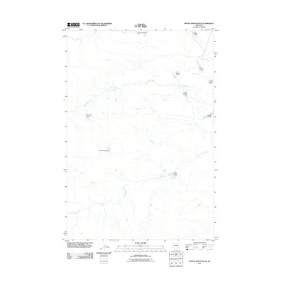
2011 Map of Woody Mountain SE
USGS Topo · Published 2011About this map
Big Woody Creek and Little Woody Creek define the drainage patterns of this Yellowstone County landscape, where a sophisticated network of small-scale water management infrastructure was documented in the early 21st century. The terrain is marked by a series of numbered dams, including Crow Number 19 Dam, Crow Number 26 Dam, and Crow Number 31 Dam, suggesting a highly organized system for stock watering or erosion control across the open country.
Find a feature on this map
13 named features on this map. Tap any name to fly to it.
Don’t see what you’re looking for? This feature index may not catch every label — zoom into the map to look around manually.
Map Details
Editions of this 2011 Woody Mountain SE Map
This is the sole edition of this map. No revisions or reprints were ever made.
Other maps of this area

1893 · Huntley
USGS Topo · 1:125,000

1894 · St. Xavier
USGS Topo · 1:125,000

1894 · Fort Custer
USGS Topo · 1:125,000

1901 · St. Xavier
USGS Topo · 1:125,000

1915 · Spenceville
USGS Topo · 1:31,680

1954 · Billings
USGS Topo · 1:250,000

1954 · Hardin
USGS Topo · 1:250,000

1957 · Hardin
USGS Topo · 1:250,000

1957 · Billings
USGS Topo · 1:250,000

1958 · Billings
USGS Topo · 1:250,000