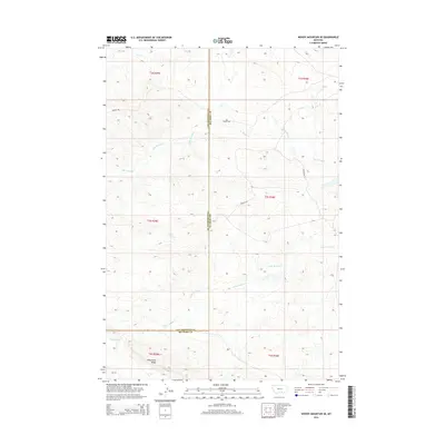
2014 Map of Woody Mountain SE
USGS Topo · Published 2014About this map
Wild Horse Ridge serves as a prominent landform in this high-plains landscape where the border of Yellowstone and Big Horn counties meets. The terrain is defined by an intricate network of drainage systems, most notably Big Woody Cr and Little Woody Cr, which carve through the topographical contours. These intermittent watercourses and the northern reach of Fly Cr indicate a seasonal hydrology typical of the region's semi-arid environment. While few structures are recorded, the map provides a clear look at the township and range survey system, including t3s r30e and t4s r29e, documenting the jurisdictional divisions and land-use patterns in this section of Montana in the early 21st century.
Find a feature on this map
11 named features on this map. Tap any name to fly to it.
Don’t see what you’re looking for? This feature index may not catch every label — zoom into the map to look around manually.
Map Details
Editions of this 2014 Woody Mountain SE Map
This is the sole edition of this map. No revisions or reprints were ever made.
Other maps of this area

1893 · Huntley
USGS Topo · 1:125,000

1894 · St. Xavier
USGS Topo · 1:125,000

1894 · Fort Custer
USGS Topo · 1:125,000

1901 · St. Xavier
USGS Topo · 1:125,000

1915 · Spenceville
USGS Topo · 1:31,680

1954 · Billings
USGS Topo · 1:250,000

1954 · Hardin
USGS Topo · 1:250,000

1957 · Hardin
USGS Topo · 1:250,000

1957 · Billings
USGS Topo · 1:250,000

1958 · Billings
USGS Topo · 1:250,000