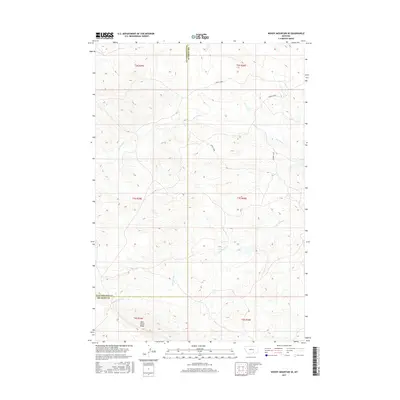
2017 Map of Woody Mountain SE
USGS Topo · Published 2017About this map
Wild Horse Ridge rises above the drainage networks of the northern High Plains in this Montana landscape. The area is defined by the headwaters and winding paths of Woody Creek, Big Woody Creek, and Little Woody Creek, which carve through the terrain south of the Fly Creek basin. The map documents the high-desert character of the border between Yellowstone and Big Horn counties, showing a sparse, undeveloped area predominantly marked by topographic contours rather than human settlements. This detailed elevation data provides an essential record of the natural landforms and drainages before further land use changes, offering a clear view of the complex coulee and ridge systems that characterize this part of the state.
Find a feature on this map
12 named features on this map. Tap any name to fly to it.
Don’t see what you’re looking for? This feature index may not catch every label — zoom into the map to look around manually.
Map Details
Editions of this 2017 Woody Mountain SE Map
This is the sole edition of this map. No revisions or reprints were ever made.
Other maps of this area

1893 · Huntley
USGS Topo · 1:125,000

1894 · St. Xavier
USGS Topo · 1:125,000

1894 · Fort Custer
USGS Topo · 1:125,000

1901 · St. Xavier
USGS Topo · 1:125,000

1915 · Spenceville
USGS Topo · 1:31,680

1954 · Billings
USGS Topo · 1:250,000

1954 · Hardin
USGS Topo · 1:250,000

1957 · Hardin
USGS Topo · 1:250,000

1957 · Billings
USGS Topo · 1:250,000

1958 · Billings
USGS Topo · 1:250,000