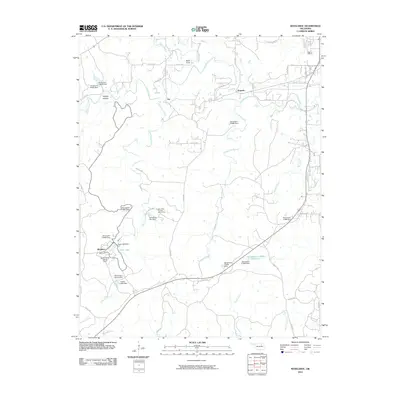
2010 Map of Woolaroc
USGS Topo · Published 2010About this map
The ranch lands and conservation areas of Woolaroc define this corner of the Osage Hills, where water management and recreation intertwine. This 2010 survey details a landscape carved by numerous small drainages like Sand Creek and Panther Creek, which feed into specialized reservoirs and spring-fed sites. The presence of the Wah-Shah-She Girl Scout Camp and the namesake Woolaroc museum and wildlife preserve highlights the transition of the area from purely agricultural use to cultural and youth-oriented stewardship. Small, unincorporated communities such as Fite and Torpedo appear as modest crossroads in a network of county roads. Further south, unique hydrological features including Clyde Lake, Wim-Wigor Spring Dam, and Daddy Miller Spring Dam illustrate the local importance of water control and spring development in this rolling prairie-and-timber terrain, while landmarks like Buck Point and Whisky Hollow provide specific geographical anchors for local history.
Find a feature on this map
54 named features on this map. Tap any name to fly to it.
Don’t see what you’re looking for? This feature index may not catch every label — zoom into the map to look around manually.
Map Details
Editions of this 2010 Woolaroc Map
This is the sole edition of this map. No revisions or reprints were ever made.
Other maps of this area

1901 · Nowata
USGS Topo · 1:125,000

1906 · Nelagoney
USGS Topo · 1:24,000

1909 · Pawhuska
USGS Topo · 1:125,000

1910 · Pawhuska
USGS Topo · 1:125,000

1914 · Nowata
USGS Topo · 1:125,000

1954 · Tulsa
USGS Topo · 1:250,000

1955 · Enid
USGS Topo · 1:250,000

1958 · Enid
USGS Topo · 1:250,000

1958 · Tulsa
USGS Topo · 1:250,000

1960 · Nelagoney
USGS Topo · 1:24,000