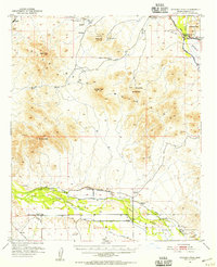
1951 Map of Woolsey Peak
USGS Topo · Published 1955About this map
The Gila Bend Mountains dominate this arid landscape, rising sharply above the southern desert flats where the Gila River dictates the pattern of human activity. Published in 1955, the map documents a transition from the mineral-heavy activity of the high ground, represented by the Buckeye Copper Mine and Harcan Mine, to the intensive irrigation efforts of the valley floor. The river corridor is heavily engineered with a complex network including the Enterprise Canal, Diversion Dike, and various irrigation ditches designed to channel water to settlements like Arlington. Cultural markers of the area's deep history are visible in the form of Petroglyphs and Indian Ruins near the Gila Bend Indian Reservation. The presence of the Blue Mountain Sch and Warford Ranch highlights the scattered rural infrastructure that supported local families during this period.
Find a feature on this map
51 named features on this map. Tap any name to fly to it.
Don’t see what you’re looking for? This feature index may not catch every label — zoom into the map to look around manually.
Map Details
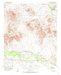
Editions of this 1951 Woolsey Peak Map
3 editions found
Other maps of this area

1942 · Vicksburg
USGS Topo · 1:250,000

1949 · Sentinel
USGS Topo · 1:62,500

1950 · Sentinel
USGS Topo · 1:62,500

1950 · Theba
USGS Topo · 1:62,500

1951 · Gila Bend
USGS Topo · 1:62,500

1951 · Theba
USGS Topo · 1:62,500

1951 · Dendora Valley
USGS Topo · 1:62,500

1951 · Cotton Center
USGS Topo · 1:62,500

1951 · Woolsey Peak
USGS Topo · 1:62,500

1953 · Ajo
USGS Topo · 1:250,000