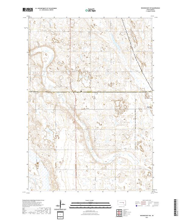
2021 Map of Woonsocket NW
USGS Topo · Published 2021About this map
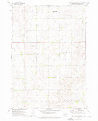
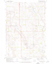
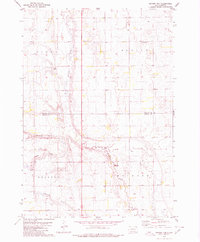
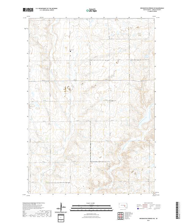
Alpena sits on the eastern edge of this prairie landscape, serving as a primary point of reference in a region defined by agricultural sections and intermittent drainage. The boundary between Beadle Co and Jerauld Co runs horizontally through the center of the sheet, marked by 220th St. This survey captures a rural environment where land use is dictated by the subtle depressions of the terrain, including the meandering paths of Sand Cr and Firesteel Cr. The presence of Zion Cem near the county line provides a localized historical anchor for researchers tracing family ties to the small farms that populate this township system. A grid of section roads, such as 388th Ave and Country Ln, connects these scattered homesteads, reflecting the enduring 1:24,000 scale spatial organization of South Dakota's heartland.
Find a feature on this map
28 named features on this map. Tap any name to fly to it.
Don’t see what you’re looking for? This feature index may not catch every label — zoom into the map to look around manually.
Map Details
Editions of this 2021 Woonsocket NW Map
This is the sole edition of this map. No revisions or reprints were ever made.
Historical Maps of Alpena Through Time
18 maps found
1973 Cottonwood Lake
Jerauld County, SD
1973 Gannvalley SE
Jerauld County, SD
1973 Wessington Springs NE
Jerauld County, SD

1973 Wessington Springs NW
Jerauld County, SD
1973 Wessington Springs SW
Jerauld County, SD
1973 Woonsocket NW
Jerauld County, SD
1979 Fraser Dam
Jerauld County, SD
1982 Crow Lake
Jerauld County, SD
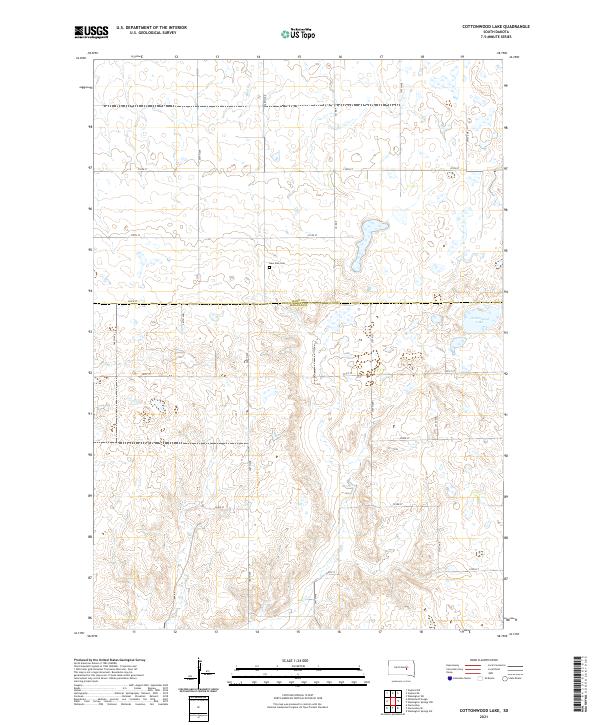
2021 Cottonwood Lake
Jerauld County, SD
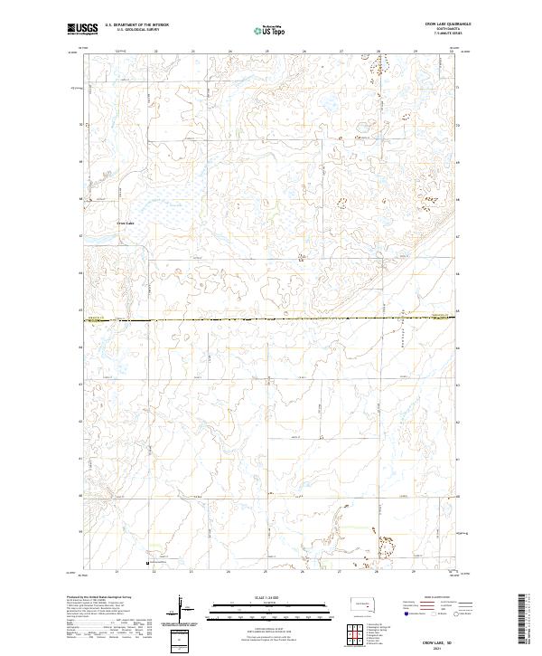
2021 Crow Lake
Jerauld County, SD
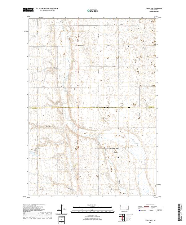
2021 Fraser Dam
Jerauld County, SD
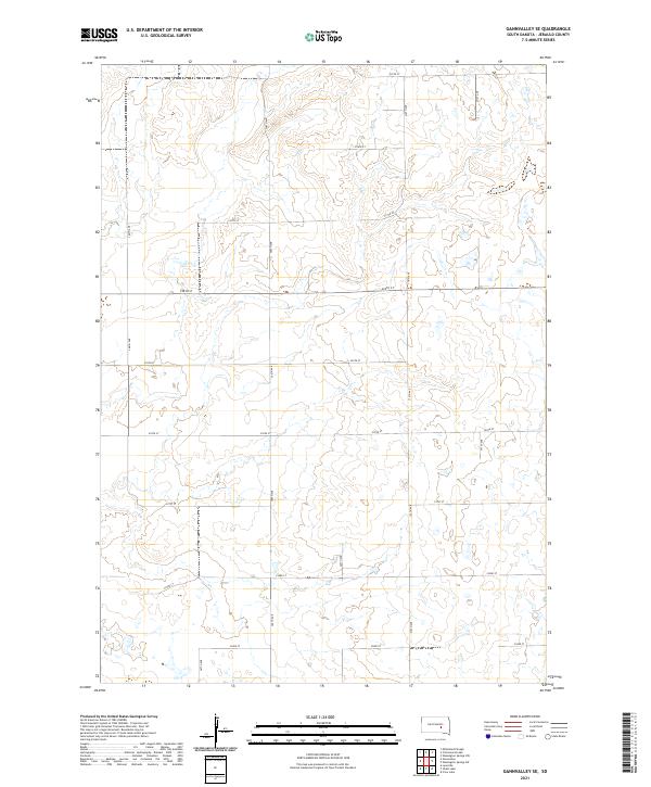
2021 Gannvalley SE
Jerauld County, SD
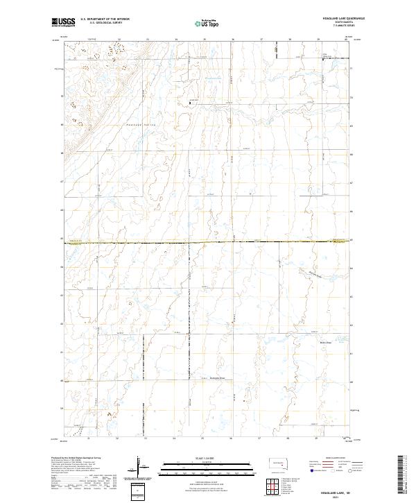
2021 Hoagland Lake
Jerauld County, SD
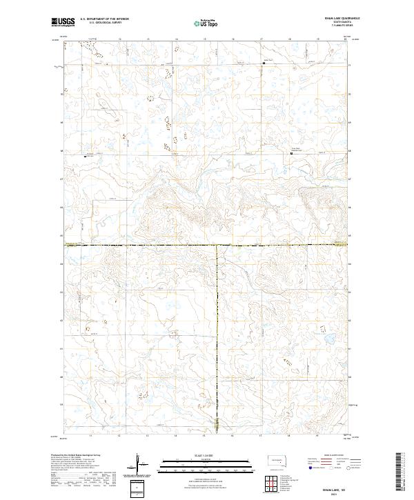
2021 Isham Lake
Jerauld County, SD
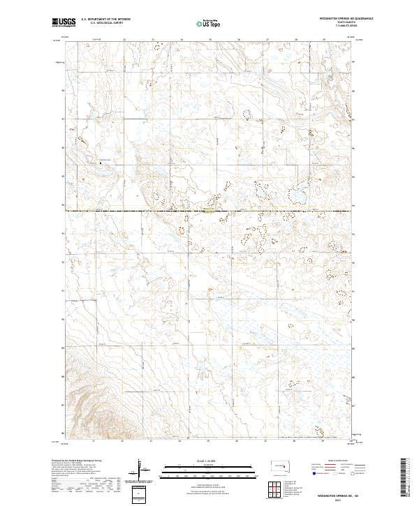
2021 Wessington Springs NE
Jerauld County, SD
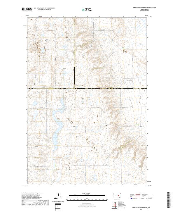
2021 Wessington Springs NW
Jerauld County, SD
2021 Wessington Springs SW
Jerauld County, SD
2021 Woonsocket NW
Jerauld County, SD