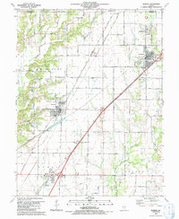
1991 Map of Worden
USGS Topo · Published 1991About this map
Settlements along the county line between Macoupin and Madison counties center on a network of small towns and coal-mining heritage. In Livingston, the Miners Memorial Park serves as a reminder of the local industrial past, complemented by several Mine Dumps that mark the landscape. The village of Worden serves as a central hub, while Hamel and Williamson anchor the southern and northern reaches.
Find a feature on this map
56 named features on this map. Tap any name to fly to it.
Don’t see what you’re looking for? This feature index may not catch every label — zoom into the map to look around manually.
Map Details
Editions of this 1991 Worden Map
This is the sole edition of this map. No revisions or reprints were ever made.
Other maps of this area
1912 · Gillespie
USGS Topo · 1:62,500
1915 · Gillespie
USGS Topo · 1:62,500
1915 · Mount Olive
USGS Topo · 1:62,500
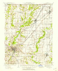
1927 · Edwardsville
USGS Topo · 1:62,500
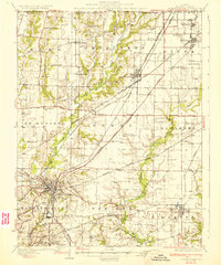
1932 · Edwardsville
USGS Topo · 1:62,500
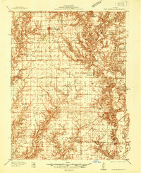
1937 · New Douglas
USGS Topo · 1:48,000
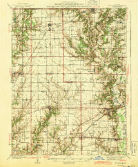
1944 · New Douglas
USGS Topo · 1:62,500
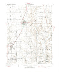
1944 · Mount Olive
USGS Topo · 1:62,500

1950 · Edwardsville
USGS Topo · 1:24,000
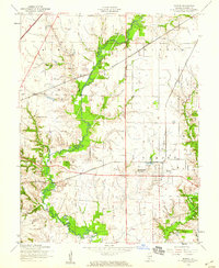
1954 · Marine
USGS Topo · 1:24,000