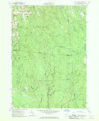
1960 Map of Worth Center
USGS Topo · Published 1962About this map
Worth Center sits at the northern edge of a landscape defined by extensive conservation and water management at the intersection of Jefferson, Oswego, and Lewis Counties. The terrain is dominated by the State Reforestation Area and a significant Game Management Area, reflecting mid-century land use patterns focused on ecological recovery. The hydrology of the region is centered on the Mad River and its numerous tributaries, including the North Branch Mad River and McDougal Creek.
Find a feature on this map
35 named features on this map. Tap any name to fly to it.
Don’t see what you’re looking for? This feature index may not catch every label — zoom into the map to look around manually.
Map Details
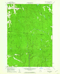
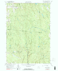
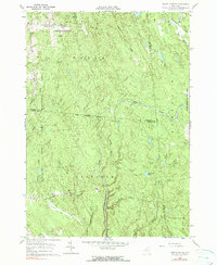
Editions of this 1960 Worth Center Map
4 editions found
Other maps of this area

1895 · Watertown
USGS Topo · 1:62,500

1898 · Watertown
USGS Topo · 1:62,500

1902 · Carthage
USGS Topo · 1:62,500

1903 · Orwell
USGS Topo · 1:62,500

1904 · Carthage
USGS Topo · 1:62,500

1905 · Orwell
USGS Topo · 1:62,500

1906 · Highmarket
USGS Topo · 1:62,500

1908 · Watertown
USGS Topo · 1:62,500

1909 · Watertown
USGS Topo · 1:62,500

1942 · Redfield
USGS Topo · 1:24,000