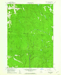
1960 Map of Worth Center
USGS Topo · Published 1970About this map
Worth Center sits at the intersection of several remote drainages in this upland region of New York, where the Jefferson and Oswego County line meets Lewis County. The landscape is defined by the high conservation presence of the State Reforestation Area and State Game Management Area, highlighting a mid-century shift toward land management and wilderness preservation in the Tug Hill area.
Find a feature on this map
39 named features on this map. Tap any name to fly to it.
Don’t see what you’re looking for? This feature index may not catch every label — zoom into the map to look around manually.
Map Details
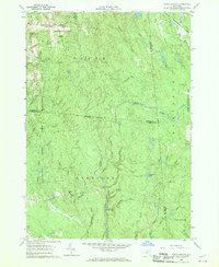
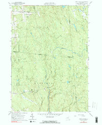
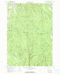
Editions of this 1960 Worth Center Map
4 editions found
Other maps of this area

1895 · Watertown
USGS Topo · 1:62,500

1898 · Watertown
USGS Topo · 1:62,500

1902 · Carthage
USGS Topo · 1:62,500

1903 · Orwell
USGS Topo · 1:62,500

1904 · Carthage
USGS Topo · 1:62,500

1905 · Orwell
USGS Topo · 1:62,500

1906 · Highmarket
USGS Topo · 1:62,500

1908 · Watertown
USGS Topo · 1:62,500

1909 · Watertown
USGS Topo · 1:62,500

1942 · Redfield
USGS Topo · 1:24,000