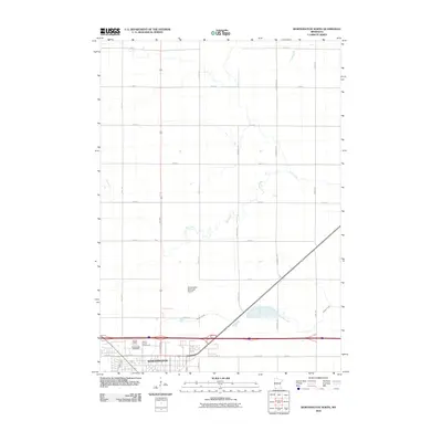
2010 Map of Worthington North
USGS Topo · Published 2010About this map
Worthington serves as the primary hub on this northern quadrangle, showing the community's layout just as the first decade of the 21st century concluded. The map details the northern edge of the city where civic and recreational sites like the Nobles County Fairgrounds and the Worthington Speedway are situated near the residential streets. Northwest of the city center, the Pioneer Village museum site preserves local heritage, while the Worthington Municipal Airport anchors the central portion of the sheet. The landscape beyond the city limits is defined by a strict grid of agricultural roads, including Read Ave and Sundberg Ave, which cross the meandering paths of Elk Creek and Okabena Creek. This document illustrates the transition from the concentrated urban grid of the county seat to the expansive rural township sections that characterize the southwestern Minnesota prairie.
Find a feature on this map
24 named features on this map. Tap any name to fly to it.
Don’t see what you’re looking for? This feature index may not catch every label — zoom into the map to look around manually.
Map Details
Editions of this 2010 Worthington North Map
This is the sole edition of this map. No revisions or reprints were ever made.
Other maps of this area

1954 · Fairmont
USGS Topo · 1:250,000

1958 · Fairmont
USGS Topo · 1:250,000

1960 · Brewster
USGS Topo · 1:24,000

1960 · Reading
USGS Topo · 1:24,000

1960 · Bigelow
USGS Topo · 1:24,000

1960 · Worthington North
USGS Topo · 1:24,000

1960 · Worthington South
USGS Topo · 1:24,000

1960 · Round Lake
USGS Topo · 1:24,000

1970 · Dundee
USGS Topo · 1:24,000

1970 · Fulda
USGS Topo · 1:24,000