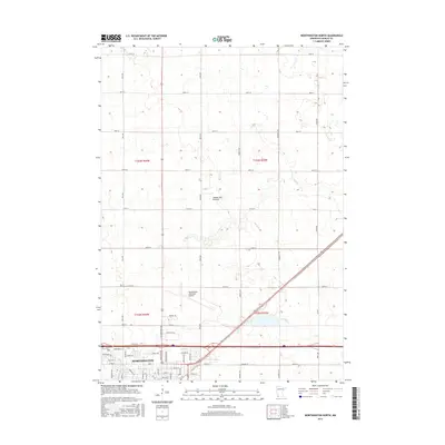
2016 Map of Worthington North
USGS Topo · Published 2016About this map
The prairie landscape of Nobles County is defined here by the Coteau des Prairies, a high plateau that rises above the surrounding plains. In the southern portion of the sheet, the city of Worthington shows significant modern development, with a street grid extending toward the Worthington Municipal Airport. The infrastructure reflects a shift toward specialized industry and commerce, evidenced by thoroughfares like Bioscience Dr, Industrial Ln, and Oxford St. Drainage for this agricultural and urban corridor is provided by the winding paths of Okabena Cr and Elk Cr, which cut through the township sections. This 2016 survey provides a clear view of how the regional economy and transportation network have integrated with the natural landforms of southwestern Minnesota.
Find a feature on this map
54 named features on this map. Tap any name to fly to it.
Don’t see what you’re looking for? This feature index may not catch every label — zoom into the map to look around manually.
Map Details
Editions of this 2016 Worthington North Map
This is the sole edition of this map. No revisions or reprints were ever made.
Other maps of this area

1954 · Fairmont
USGS Topo · 1:250,000

1958 · Fairmont
USGS Topo · 1:250,000

1960 · Brewster
USGS Topo · 1:24,000

1960 · Reading
USGS Topo · 1:24,000

1960 · Bigelow
USGS Topo · 1:24,000

1960 · Worthington North
USGS Topo · 1:24,000

1960 · Worthington South
USGS Topo · 1:24,000

1960 · Round Lake
USGS Topo · 1:24,000

1970 · Dundee
USGS Topo · 1:24,000

1970 · Fulda
USGS Topo · 1:24,000