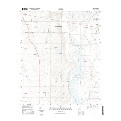
2015 Map of Wren
USGS Topo · Published 2015About this map
Wren and New Wren anchor the northwestern reaches of this Monroe County landscape, where the agricultural flats are dissected by the meandering courses of Wolf Cr and Coupen Cr. The geography transitions from these rural crossroads toward the engineered waterways of the east, dominated by the Tombigbee River and the expansive Aberdeen Lake. This transition is marked by significant hydrological modifications, including the Weaver Cr Cutoff and Acker Lake Cutoff, which illustrate the region's managed river system.
Find a feature on this map
92 named features on this map. Tap any name to fly to it.
Don’t see what you’re looking for? This feature index may not catch every label — zoom into the map to look around manually.
Map Details
Editions of this 2015 Wren Map
This is the sole edition of this map. No revisions or reprints were ever made.
Other maps of this area

1953 · West Point
USGS Topo · 1:250,000

1956 · Tupelo
USGS Topo · 1:250,000

1958 · Tupelo
USGS Topo · 1:250,000

1958 · West Point
USGS Topo · 1:250,000

1963 · West Point
USGS Topo · 1:250,000

1965 · Egypt
USGS Topo · 1:24,000

1966 · Smithville
USGS Topo · 1:24,000

1966 · Aberdeen
USGS Topo · 1:24,000

1966 · Shannon
USGS Topo · 1:24,000

1966 · Amory
USGS Topo · 1:24,000
Featured Places
- Amory, MS
- Lake Monroe West Subdivision, MS
- Lake Monroe East Subdivision, MS
- New Wren, MS
- Cotton Hill Gin Estates, MS