
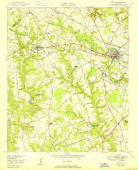
1950 Map of Wrens
USGS Topo · Published 1950About this map
Stapleton and Wrens anchor this mid-century landscape in Jefferson County, where the transition from agrarian roots to post-war connectivity is visible through a network of rural roads like the Quaker Road and Warrenton Road. The area is densely marked by community institutions that served as local hubs, notably the Stone Springfield School Church and Cemetery and the Lofton School Church and Cemetery. These combined school-church sites, alongside features like the Stapleton School First Baptist Church, highlight the historical overlap of education and faith in Georgia’s rural districts. Water played a central role in the local economy and geography, evidenced by several impoundments including Stapleton Mill Pond, Gamble Mill Pond, and Kings Mill Pond, which suggest a history of milling along the tributaries of Brushy Creek and Duhart Creek. Numerous windmills scattered across the quadrangle further emphasize the reliance on localized water management for farms at this time.
Find a feature on this map
43 named features on this map. Tap any name to fly to it.
Don’t see what you’re looking for? This feature index may not catch every label — zoom into the map to look around manually.
Map Details
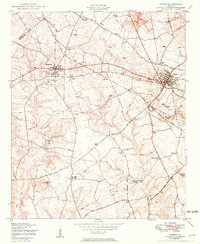
Editions of this 1950 Wrens Map
3 editions found
Other maps of this area

1920 · Stapleton
USGS Topo · 1:62,500

1922 · Harlem
USGS Topo · 1:62,500

1948 · Harlem
USGS Topo · 1:62,500

1948 · Stapleton
USGS Topo · 1:62,500

1948 · Louisville
USGS Topo · 1:24,000

1950 · Louisville
USGS Topo · 1:24,000

1950 · Matthews
USGS Topo · 1:24,000
1950 · Bowdens Pond
USGS Topo · 1:24,000

1950 · Kellys Pond
USGS Topo · 1:24,000
1950 · Avondale
USGS Topo · 1:24,000