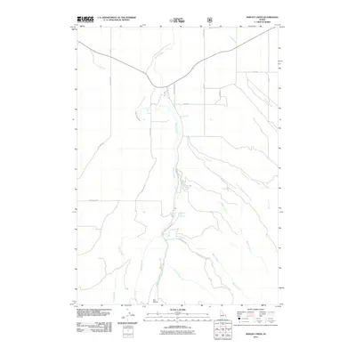
2011 Map of Wright Creek
USGS Topo · Published 2011About this map
Pincock Hot Springs sits at the heart of this Idaho landscape, where a complex network of canyons and watercourses defines the local topography. The area is characterized by a high concentration of drainage systems, including Canyon Creek, Wright Creek, and the multi-branched Warm Creek, illustrating the hydraulic importance of this Madison County terrain. The northern reaches show a transition from natural flows to managed water infrastructure with the Canyon Creek Canal, a vital feature for the region's agricultural development.
Find a feature on this map
23 named features on this map. Tap any name to fly to it.
Don’t see what you’re looking for? This feature index may not catch every label — zoom into the map to look around manually.
Map Details
Editions of this 2011 Wright Creek Map
This is the sole edition of this map. No revisions or reprints were ever made.
Other maps of this area

1943 · Garns Mtn
USGS Topo · 1:62,500

1946 · Garns Mtn
USGS Topo · 1:62,500

1949 · Newdale
USGS Topo · 1:24,000

1950 · Newdale
USGS Topo · 1:24,000

1951 · Hawley Gulch
USGS Topo · 1:24,000

1951 · White Owl Butte
USGS Topo · 1:24,000

1955 · Driggs
USGS Topo · 1:250,000

1958 · Driggs
USGS Topo · 1:250,000

1962 · Driggs
USGS Topo · 1:250,000

1965 · Packsaddle Lake
USGS Topo · 1:24,000