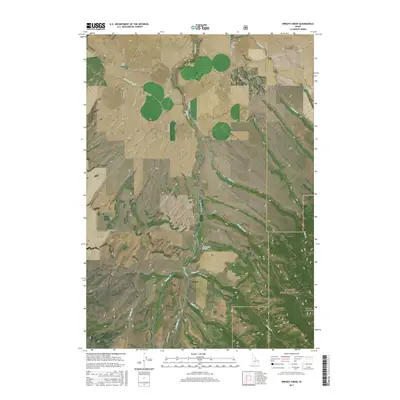
2017 Map of Wright Creek
USGS Topo · Published 2017About this map
Targhee National Forest dominates the southern reaches of this Madison and Teton County border region, where the Big Hole Mountains rise above a complex network of waterways. The landscape is defined by the sharp transition between the agricultural plains and the ascending forest slopes. Irrigation and water management are central to the local geography, evidenced by the Canyon Cr Canal which diverts water from Canyon Cr to support the surrounding farmland.
Find a feature on this map
28 named features on this map. Tap any name to fly to it.
Don’t see what you’re looking for? This feature index may not catch every label — zoom into the map to look around manually.
Map Details
Editions of this 2017 Wright Creek Map
This is the sole edition of this map. No revisions or reprints were ever made.
Other maps of this area

1943 · Garns Mtn
USGS Topo · 1:62,500

1946 · Garns Mtn
USGS Topo · 1:62,500

1949 · Newdale
USGS Topo · 1:24,000

1950 · Newdale
USGS Topo · 1:24,000

1951 · Hawley Gulch
USGS Topo · 1:24,000

1951 · White Owl Butte
USGS Topo · 1:24,000

1955 · Driggs
USGS Topo · 1:250,000

1958 · Driggs
USGS Topo · 1:250,000

1962 · Driggs
USGS Topo · 1:250,000

1965 · Packsaddle Lake
USGS Topo · 1:24,000